
Agriculture from Space
Empowering Farmers and Agribusinesses with real-time satellite insights, crop health monitoring and precision data.
Access Client PortalEmpowering Farmers and Agribusinesses with real-time satellite insights, crop health monitoring and precision data.
Access Client Portal
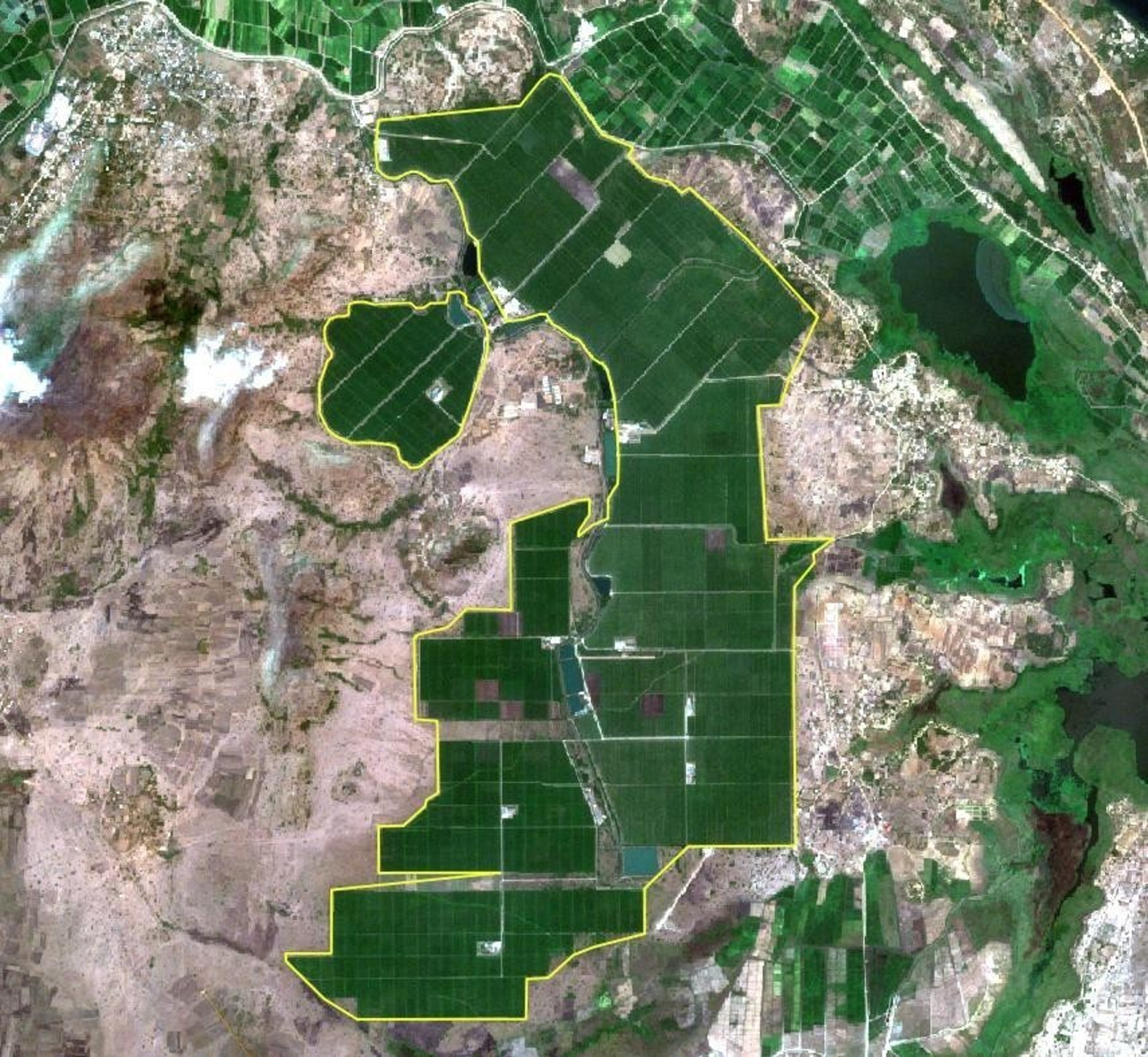
For commodity traders and large-scale aggregators, we provide multi-spectral satellite analysis to monitor supply chains, estimate regional yields and mitigate climate-related risks across thousands of hectares.
Learn More
We empower individual farmers with localized health indices (NDVI). Receive real-time alerts on your mobile device regarding crop vigor, moisture levels and pest infestations before they impact your bottom line.
Learn MoreYou know your land, but some problems hide where we can't see them. We use advanced satellite technology to give you a 'bird's eye view' of your entire farm every single week.
For your farm, this means we can 'see' things the human eye cannot, like hidden water stress or nutrient needs, weeks before they become a problem on the ground.

A clear view of your farm from above
We take satellite pictures and turn them into a "health map" for your land. This simple color-coded guide tells you exactly how your crops are doing without you having to walk every acre:
By catching these 'Red Zones' early, you can save money on fertilizer and water by applying them only where they are truly needed, ensuring a stronger harvest for your family and business.
A digital health map of your field
Everything you need to manage, analyze and optimize your agricultural operations
Access high-resolution satellite images of your farmland with real-time updates and historical data.
Create detailed field maps with shape files and geospatial data for accurate farm management.
Add notes, markers and annotations directly on satellite images for better collaboration.
Share projects with clients and team members with role-based access control.
Generate comprehensive PDF reports with analysis summaries and actionable insights.
Enterprise-grade security with encrypted data storage and user authentication.
We are currently training our Machine Learning algorithms using verified truth-ground data. Soon, you will be able to access predictive yield models to forecast your harvest with unprecedented accuracy.
Integrating multi-spectral satellite imagery with historical yield data to provide real-time forecasting.
Empowering your farm with state-of-the-art aerial technology.
Access high-end agricultural drones tailored for mapping and spraying. We help you select the right hardware based on your farm size and crop requirements.
Don't let technical issues ground your operations. Our expert technicians provide calibration, part replacements and emergency repairs to keep your fleet in the air.
Our team is available to discuss how XSpace can support your specific agricultural operations.
Contact Our Team
"The satellite NDVI maps allow us to detect nutrient stress weeks before they are visible to the naked eye. It has completely changed how we manage our 12,050 acres rice farm."

"With real-time alerts on water stress, we have reduced our irrigation waste by nearly 20%. This data is critical for the sustainability of our Eastern Region operations."

"As a youth trainee, learning to interpret remote sensing data has empowered me to provide professional consulting to other farmers in my district."